Back to Conservation
CONSERVATION CORNER · TAPANTÍ

Kaberi Trail

River of Quetzals

Kaberi, in the Cabécar indigenous language, means, among other things, River of Quetzals. The trail is 7.5 to 8 km long and climbs from 1,600 to 2,500 MASL. Due to its complexity, it is recommended for advanced hikers.

It crosses the Tapir’s Rainforest, a forest of great hydric relevance that is part of Queverí’s conservation project. Be ready to enjoy the beauty and remoteness of Tapantí National Park’s buffer zone.

Explore on Wikiloc
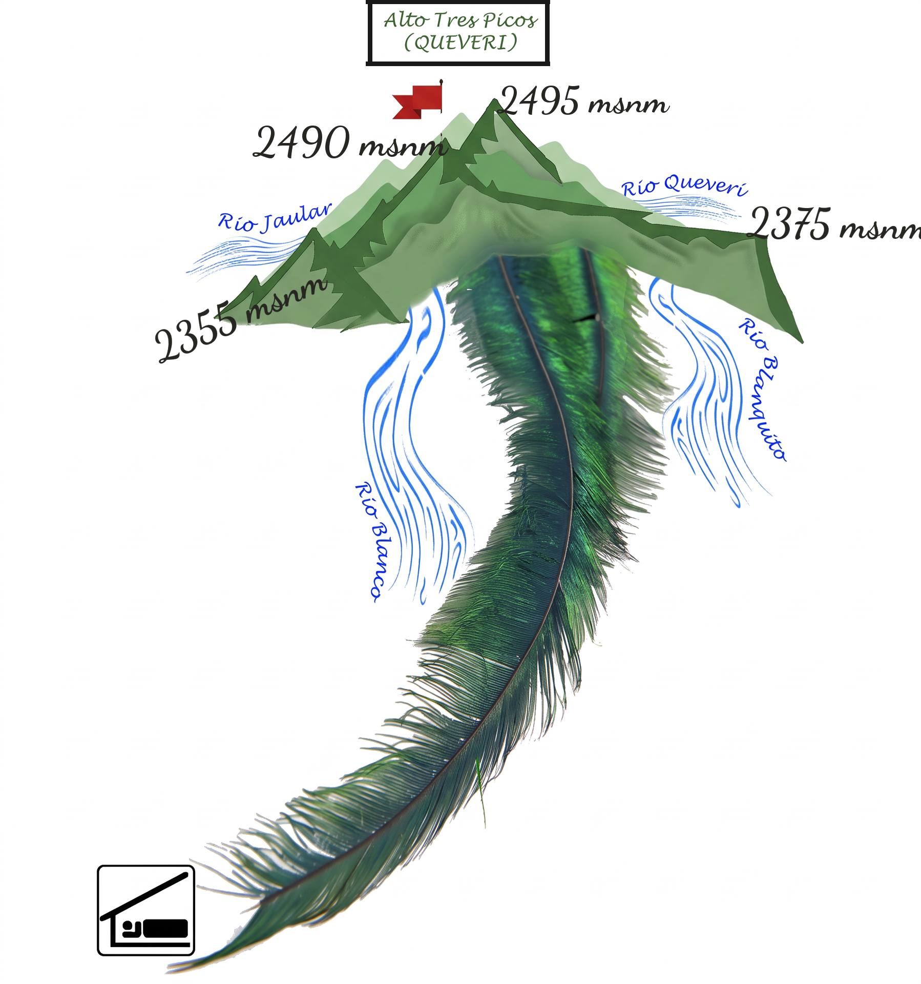
Kaberi Trail: Queverí · Jaular · Blanco · Blanquito rivers
Queverí · Jaular · Blanco · Blanquito rivers
7.5–8 kmDistance
1,600–2,500 mElevation
AdvancedLevel
Tapir’s RainforestQueverí · Jaular · Blanco · Blanquito rivers
GPS ROUTE

Explore Kaberi on the map

Explore the route, its elevation profile and the images published on Wikiloc.

ILLUSTRATED CARTOGRAPHY

From pasture to highlands

Select a stage to travel through the profile. This illustration interprets Queverí’s historic design; it is not a substitute for a GPS map.

12345678910Illustrated profile · not GPS cartography
Stage 01Queverí farmhouse1,600 m · 0 km

Start through the pastures

RELIVE THE ROUTE

Follow the hike from above

Explore Kaberi’s three-dimensional journey in Relive.