
El Camino de Costa Rica hike planner
Walk coast to coast in 16 stages, with a rest night at our farm in Orosi.
Hiking the Camino de Costa Rica
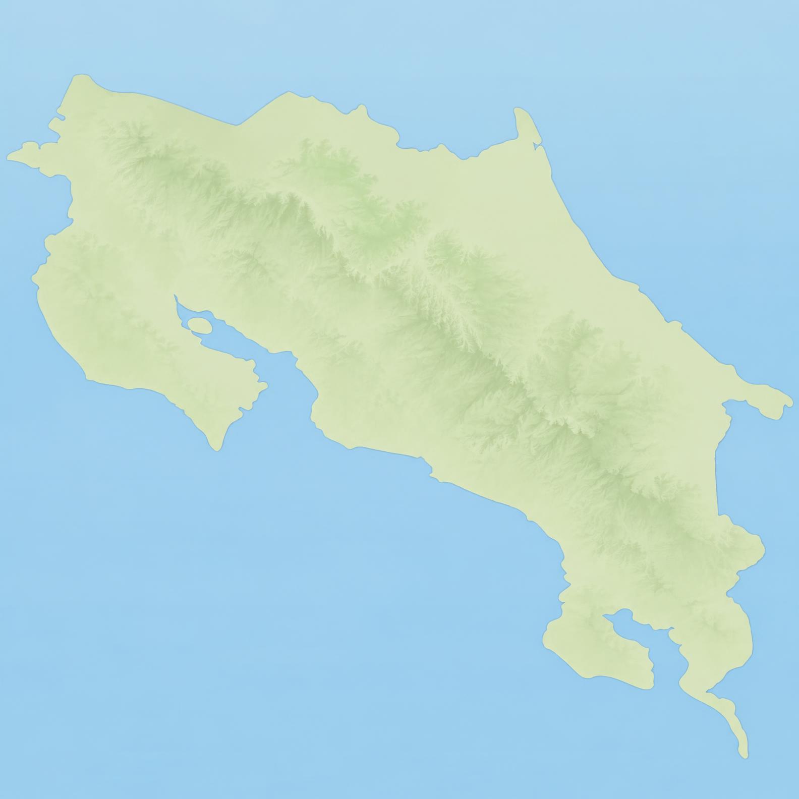
The Camino de Costa Rica is a walking route of about 280 km from Barra de Parismina on the Caribbean to Quepos on the Pacific, split into 16 official stages with more than 9,000 m of total climb. The route passes Tapantí National Park and Río Macho, right where Finca Queverí sits, so it is a natural place to sleep, rest and eat a home-cooked meal halfway across the country.
Coast to coast, on foot
Walk across Costa Rica in 16 stages or fewer, Caribbean to Pacific or the other way. Your Orosi Valley night is always at Finca Queverí.
16 official stages, one per day · 17 days · Merged stages: 1a + 1b
Your day-by-day plan
Night at Finca Queverí: Dec 24 – Dec 26 · 2 guests
Book my Queverí nightsDay 1 → 17 · Approximate altitudes derived from each stage’s official climb and descent.